- Home
- Vintage Florida Maps
FLORIDA VINTAGE ROAD MAPS
By Mike Miller Updated August 10, 2024
Florida was the smallest state in population in the Confederate States of America at the time of the Civil War. Its population at that time was 140,424.
Growth was very slow in the decades up until World War Two. When the war began, Florida's population was 1,897,414. That number has now swollen to an estimated 23,000,000 in 2024.
The state's transportation routes began with Spanish and Native American trails, rivers, and streams. These evolved into wagon roads and railroads and finally paved roads for cars.
The tremendous growth in Florida (it's been growing by at least one thousand people a day for years) has put a constant strain on the local and regional road network.
This web page is an interesting way to track the growth of the Sunshine State.
SCROLL DOWN TO SEE FLORIDA VINTAGE MAPS
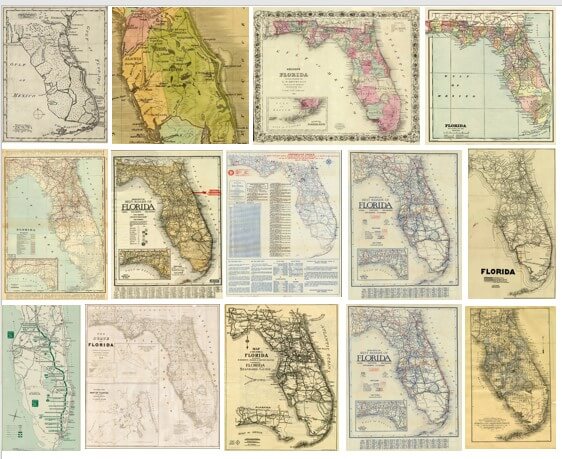
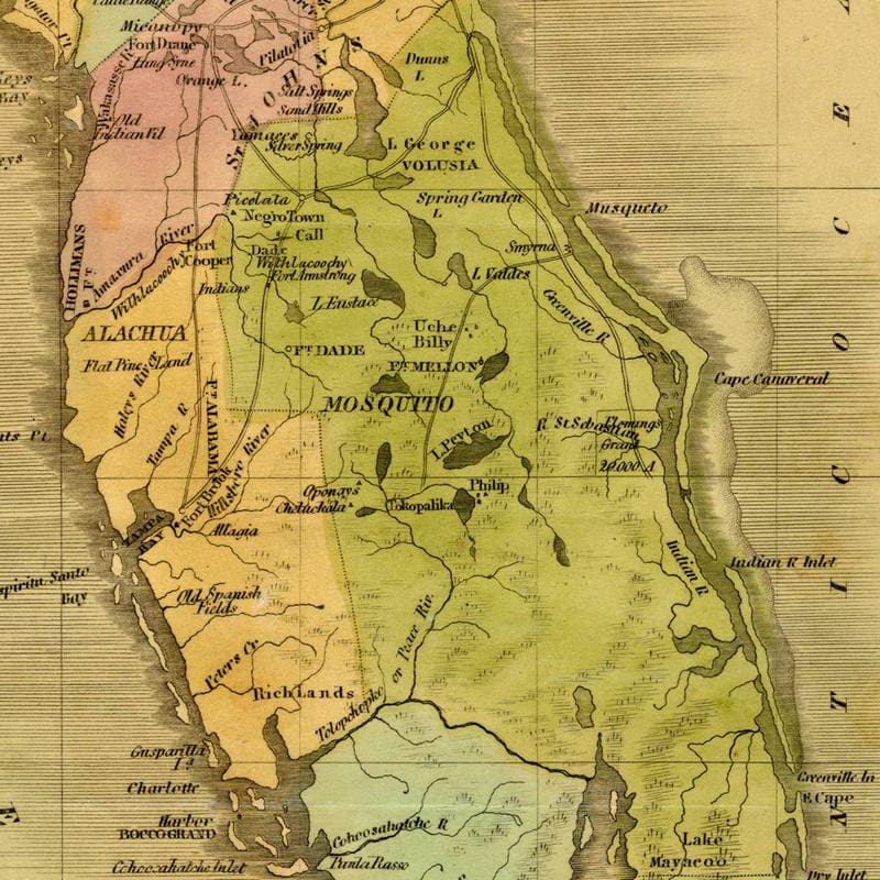
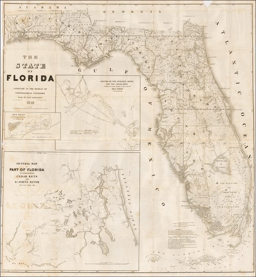
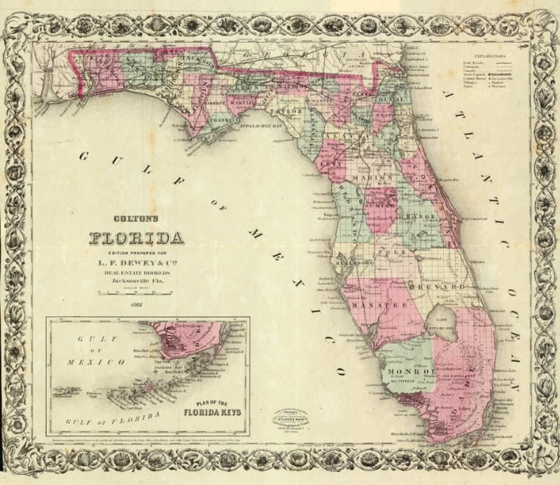
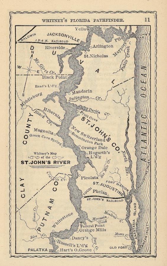
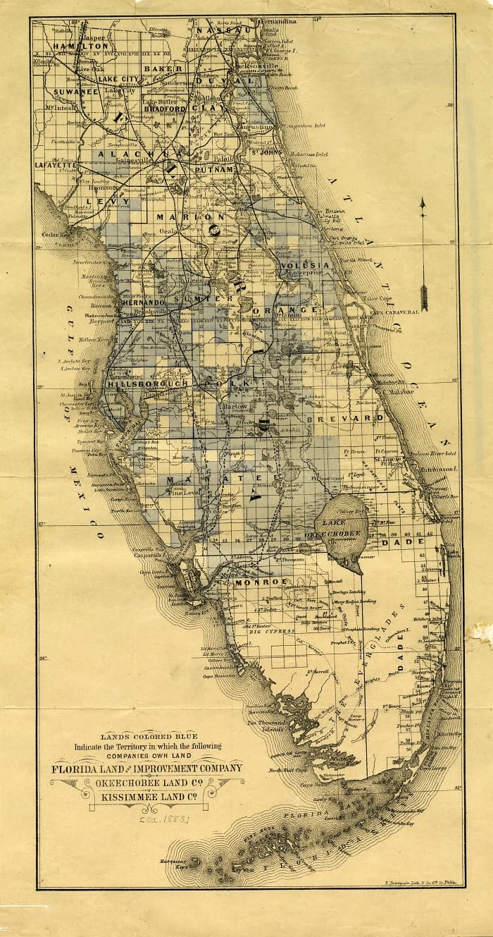
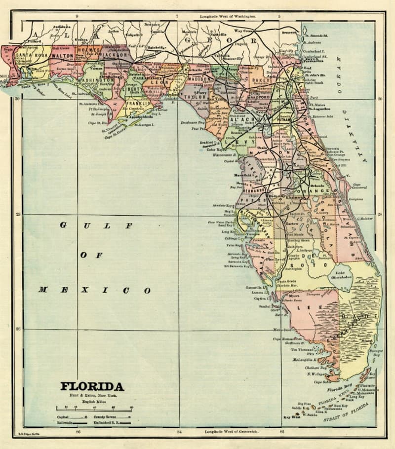
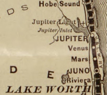
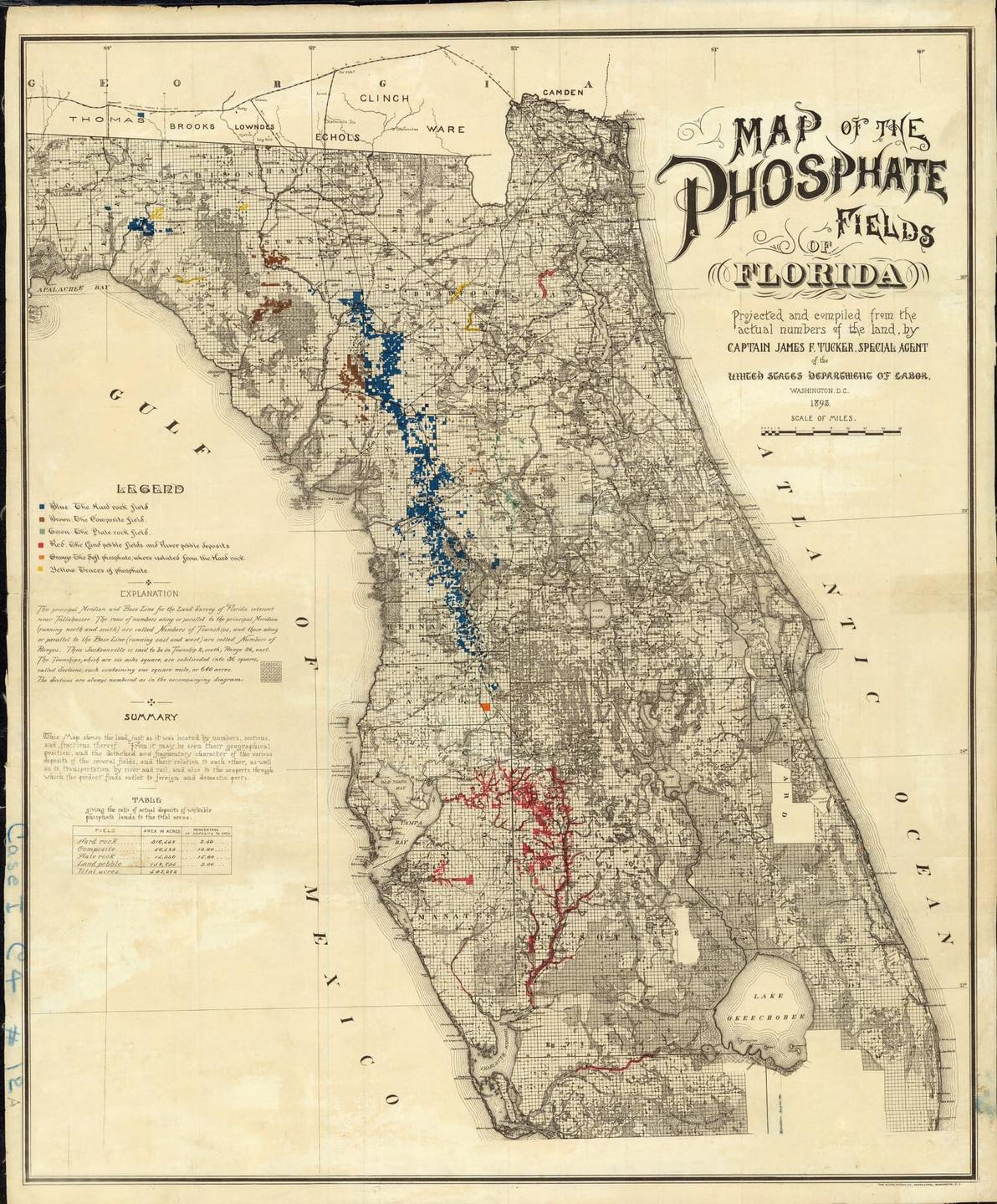
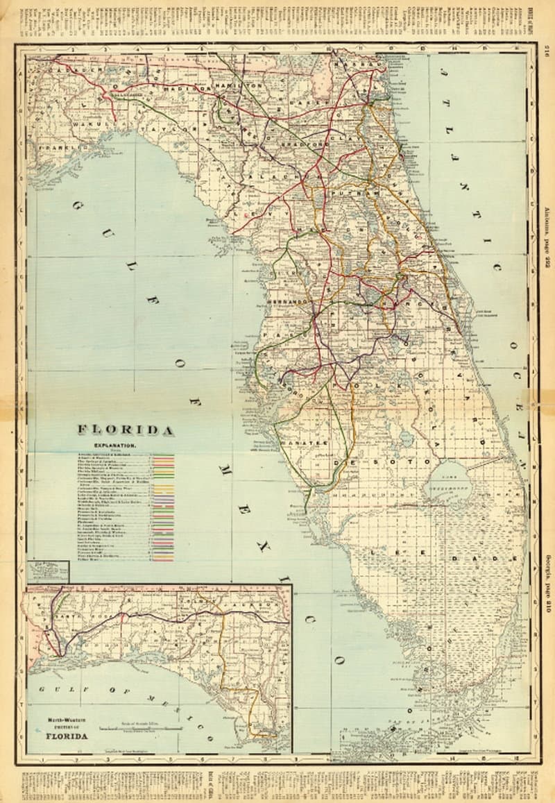
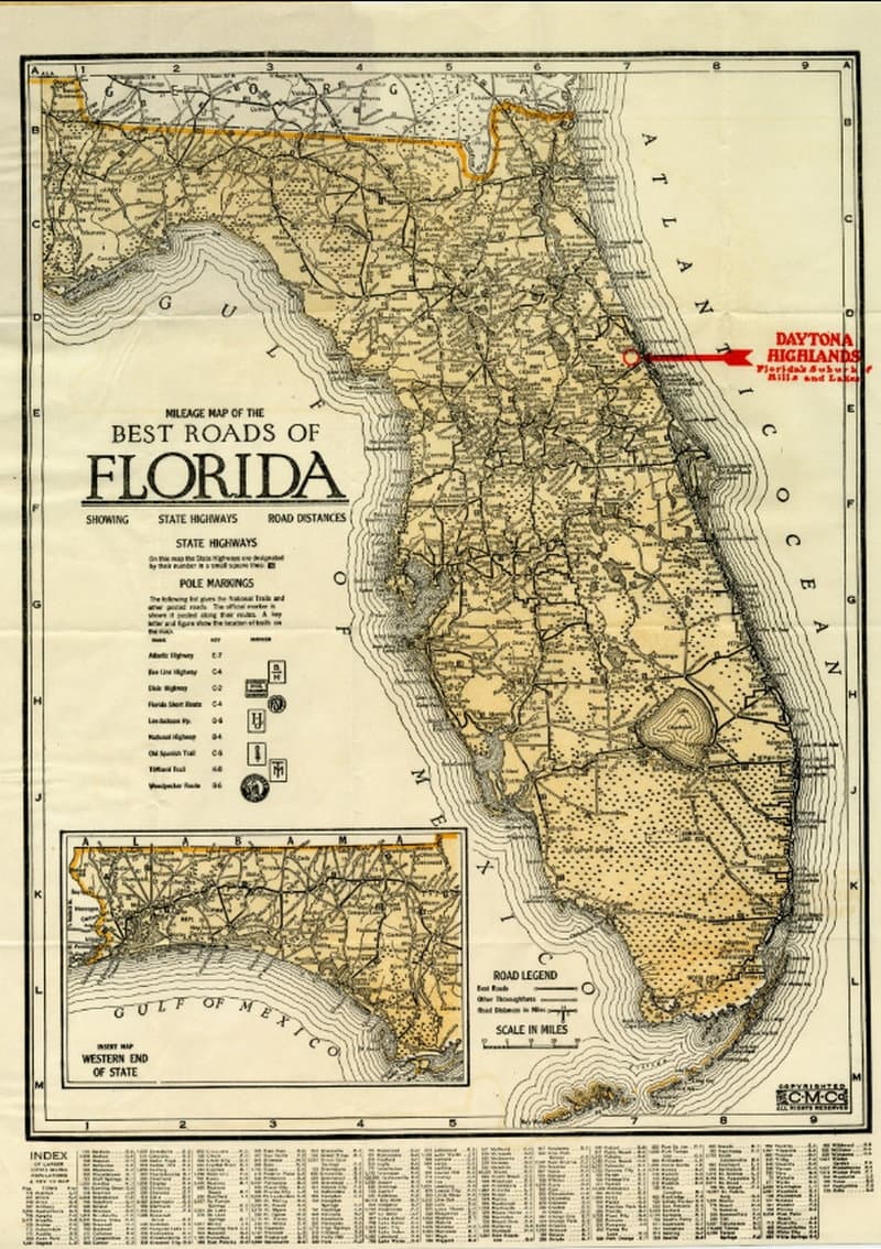
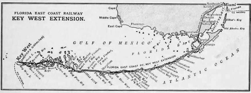
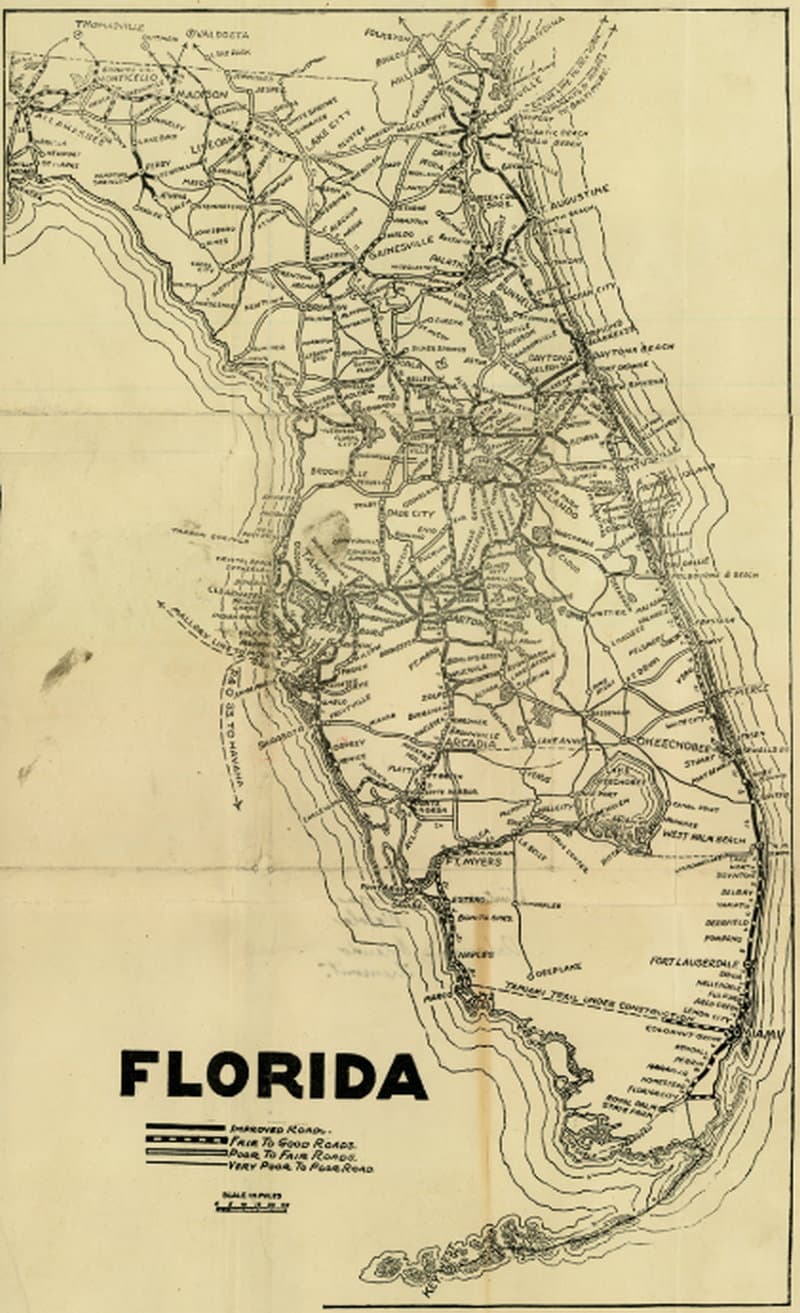
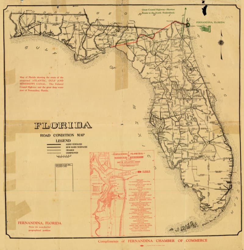
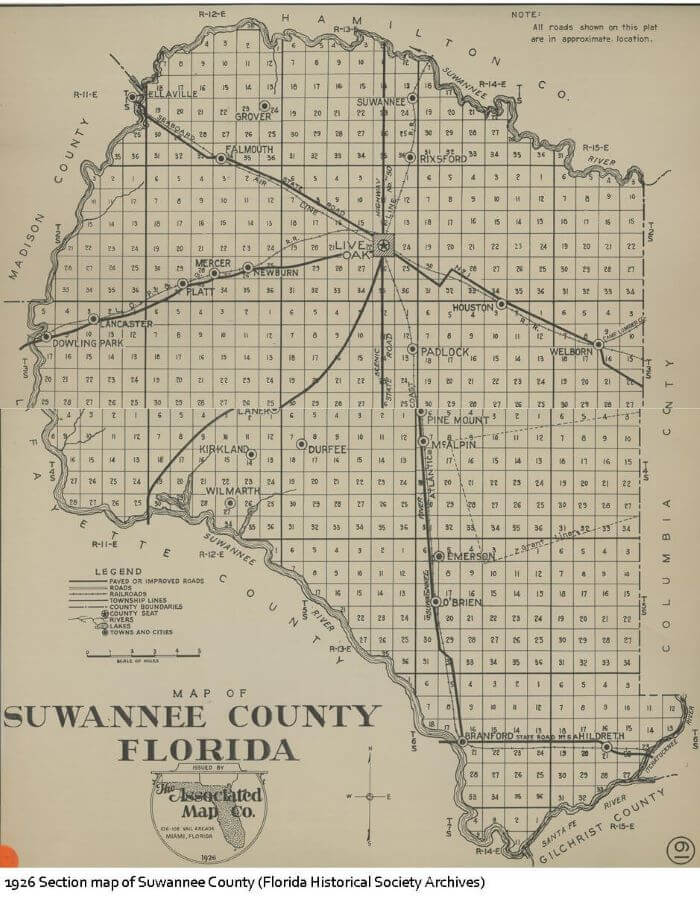
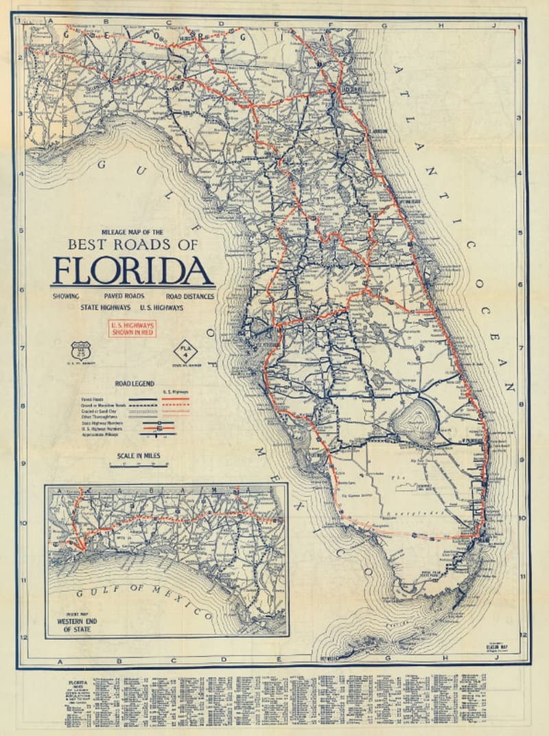
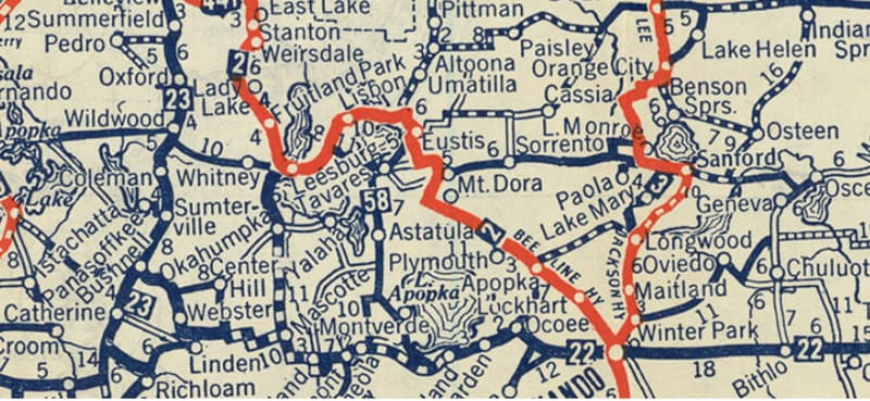
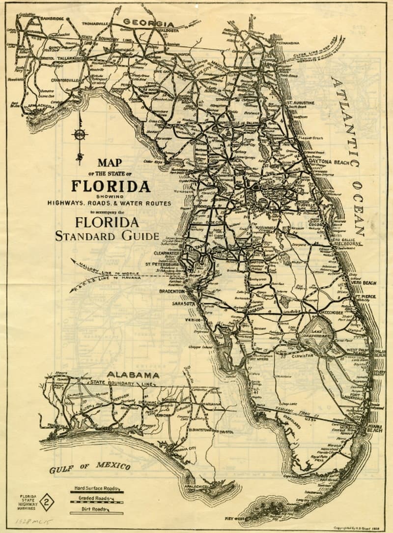
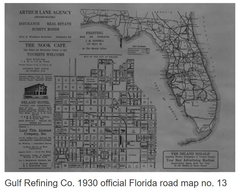
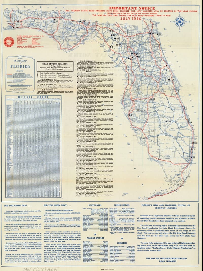
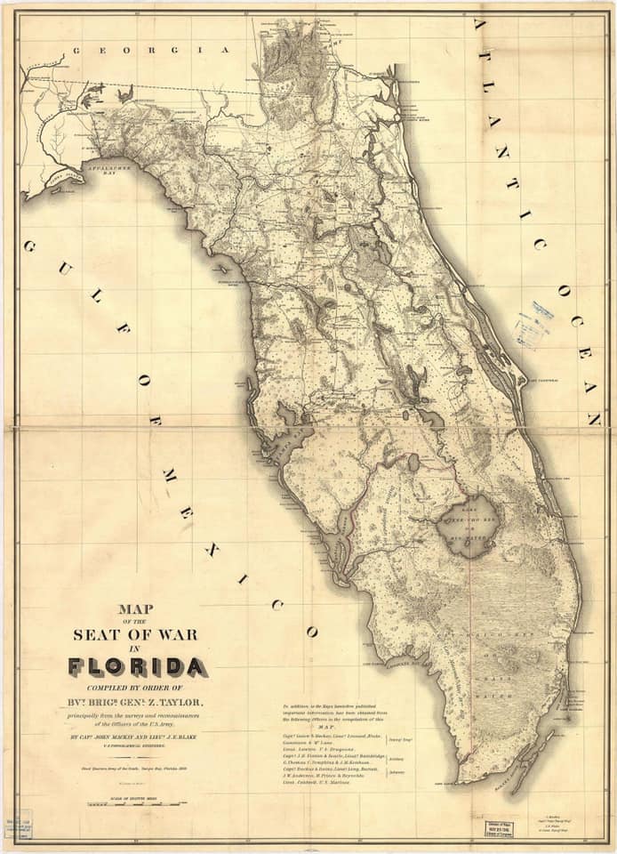
Many of these Florida vintage road map images are from the Florida State Archives. Credit to the source is given on each image. You can use your browser to zoom in for a closer look.
SPECIAL ZOOMABLE FUN FEATURE
Click on Map Below to go to Zoomable PDF File
SPECIAL ZOOMABLE FUN FEATURE
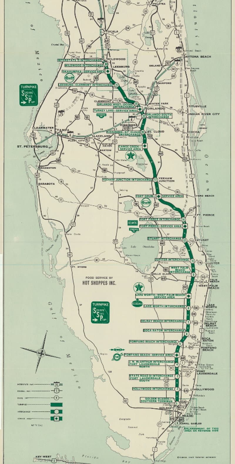
Click on Map Below to go to Zoomable PDF File
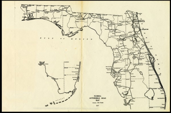
The map above is from Florida Memory, the Archives of the State of Florida. It's fun to zoom in and see what roads were here in 1917.
SPECIAL ZOOMABLE FUN FEATURE
Click on Map to go to Zoomable PDF File
If you click on the image above of Clayson's Guide Map, you will be taken to a Florida State Archive page that lets you zoom in and out all over the state. Try it, you'll like it.
SPECIAL ZOOMABLE FUN FEATURE 1959 ROAD MAP
Click on Map to go to Zoomable PDF File
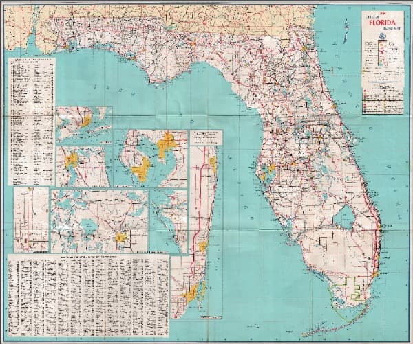
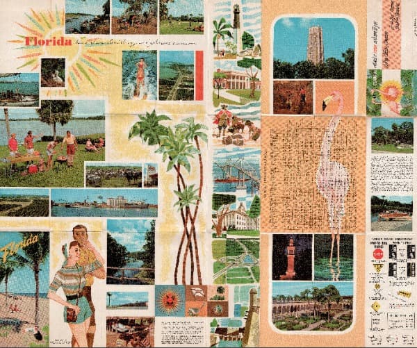
If you click on either of the images of the 1959 Florida road map, you will be taken to a PDF file that lets you see everything in greater detail. This is Florida immediately before the Turnpike or Interstates began to pop up.
SPECIAL ZOOMABLE FUN FEATURE
Click on Map to go to Zoomable PDF File
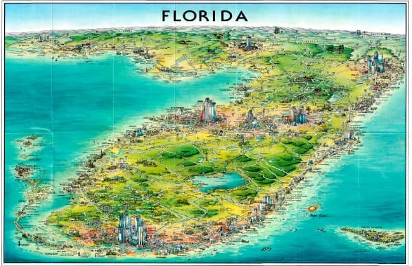
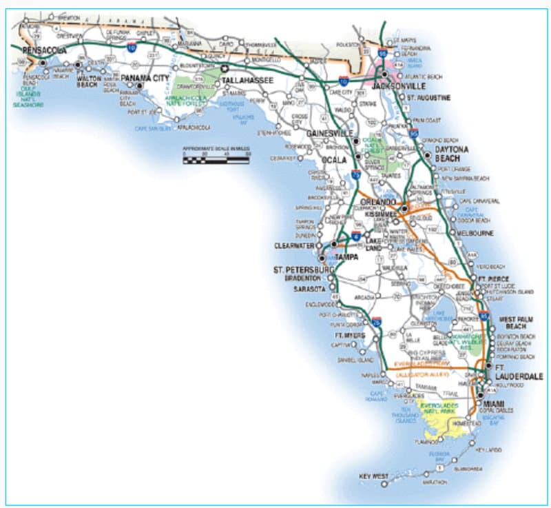
The map below is an image I copied from a folded paper map I purchased at Amazon. The map is on a wall of my office and is about 18"x24". If you like it, see Amazon link for Unique Media Map.
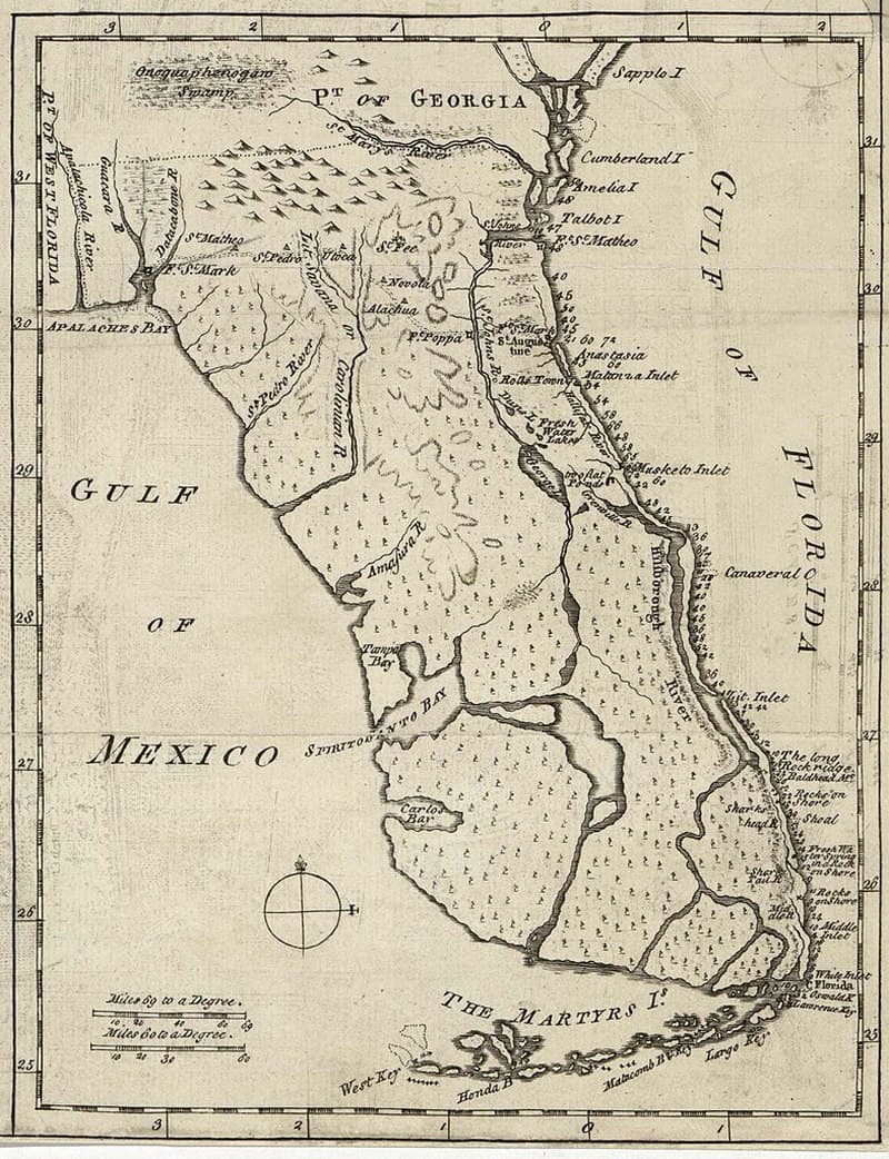
The changes on the map are dramatic when compared to the earliest map on this page: John de Solis map of 1764.
More information about these Florida vintage road maps and more can be found at Florida Memory State Library & Archives of Florida.
The Florida Department of Transportation has a collection of all official highway maps they published from 1917 through 2020. They are downloadable PDF files.

Florida is the fastest-growing state in the United States and also the fastest-changing. If you see anything in this article that has changed or is in error, please let me know.
Our free daily Ezine, Florida Heritage Travel, has 18,000 subscribers. We also have 130,000 followers on Facebook who love off the beaten path Florida.
By Mike Miller, Copyright 2009-2025
Florida-Back-Roads-Travel.com
Florida Back Roads Travel is not affiliated with or endorsed by Backroads, a California-based tour operator which arranges and conducts travel programs throughout the world.
