- Home
- Florida County Maps
ALL 67 FLORIDA COUNTY INTERACTIVE BOUNDARY AND ROAD MAPS
A Florida county map is a lesson in Florida history. You can see how Florida evolved by studying the dates of formation of its counties.
 Map of All 67 Florida Counties
When Florida became a United States territory in 1821, there were only two counties on the Florida map: Escambia County to the west on the Gulf of Mexico and St. Johns County to the east on the Atlantic Ocean.
Pensacola is the principal city in Escambia County and St. Augustine is the major city in St. Johns. These old Spanish settlements are the oldest cities in America, and St. Augustine is the oldest continuously occupied city in America.
From these two parent counties, the 67 counties of Florida evolved. The Florida County map above is courtesy of the Florida Department of Motor Vehicles and shows the county boundaries and major highways.
67 FLORIDA COUNTY MAPS
Scroll down here to view all of the 67 Florida county maps. At the bottom of the page is a listing of each county with its county seat.
 Alachua
Baker County
 Baker
BakerBay County
 Bay
BayBradford County
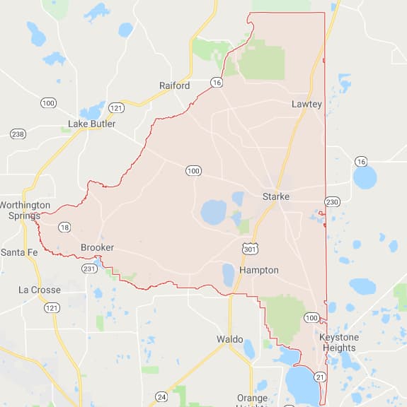 Bradford
Brevard County
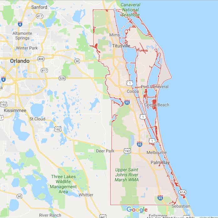 Brevard
Broward County
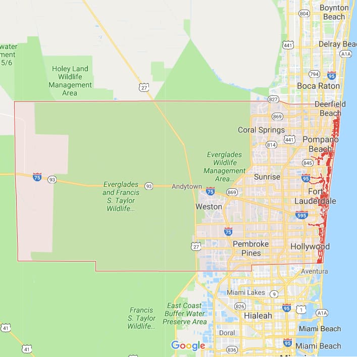 Broward
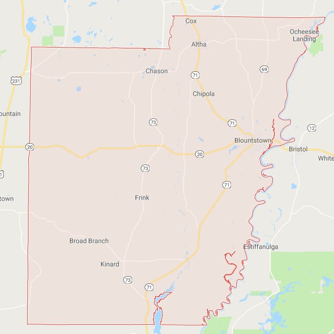 Calhoun
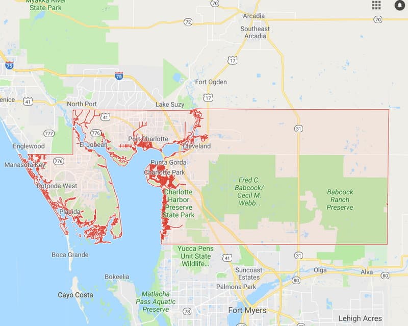 Charlotte
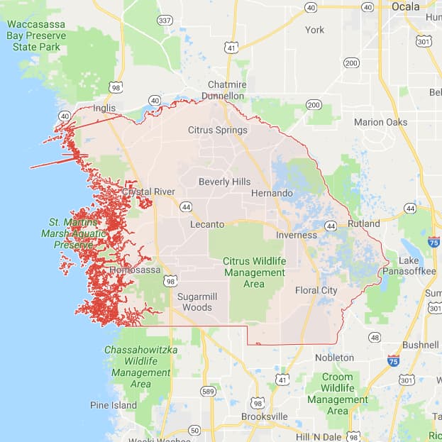 Citrus
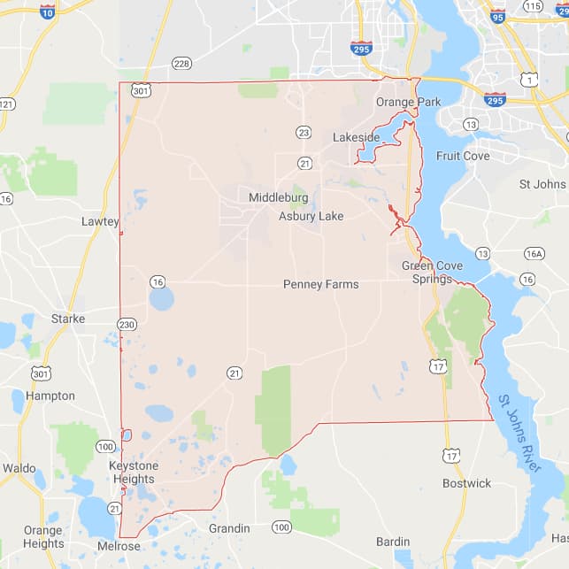 Clay
Clay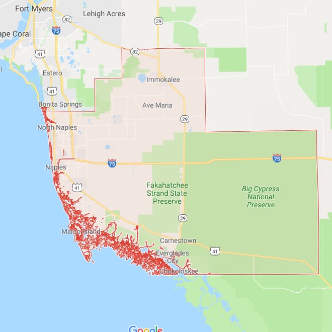 Collier
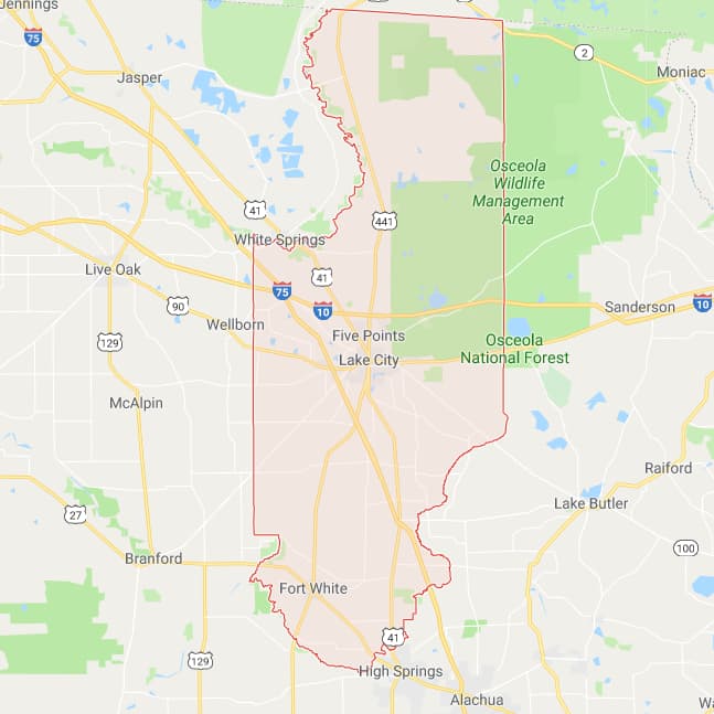 Columbia
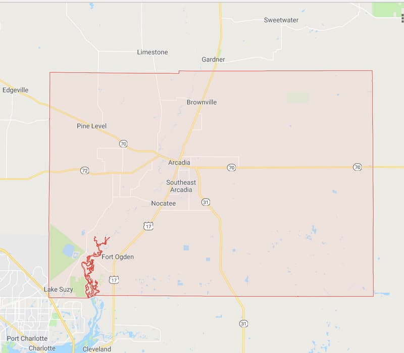 Desoto
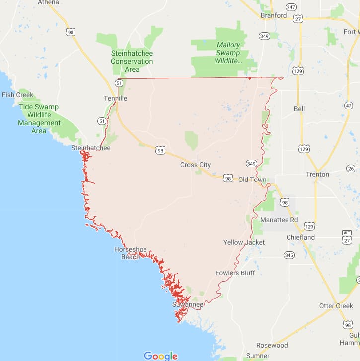 Dixie
Dixie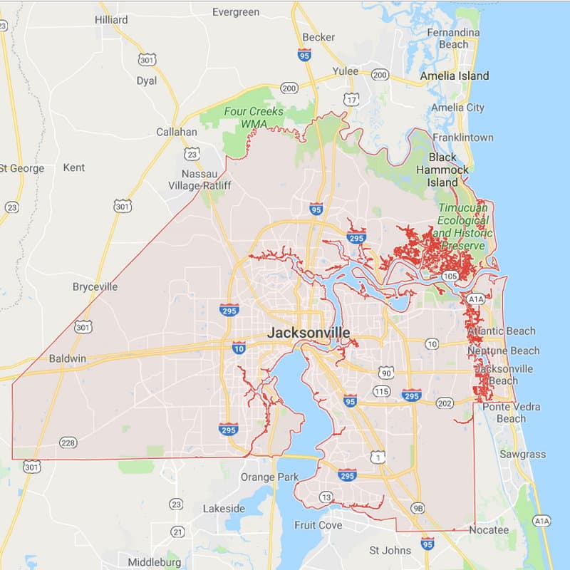 Duval
Duval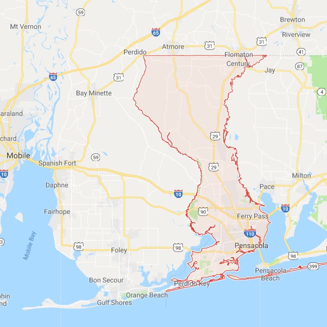 Escambia
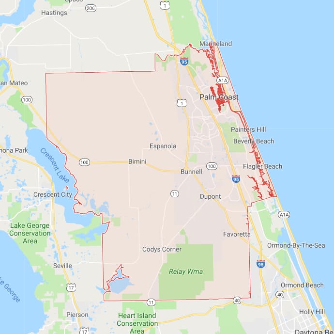 Flagler
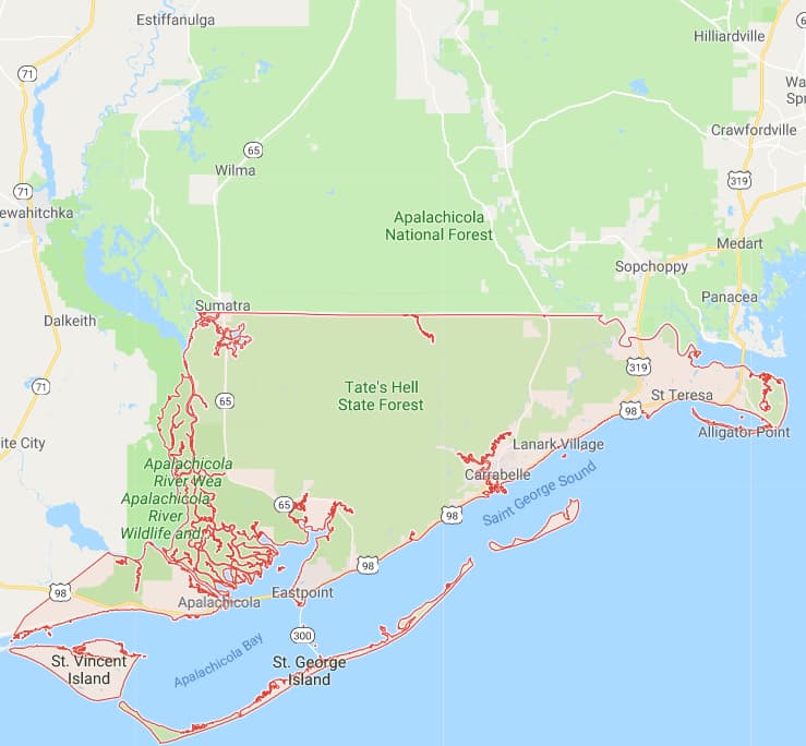 Franklin
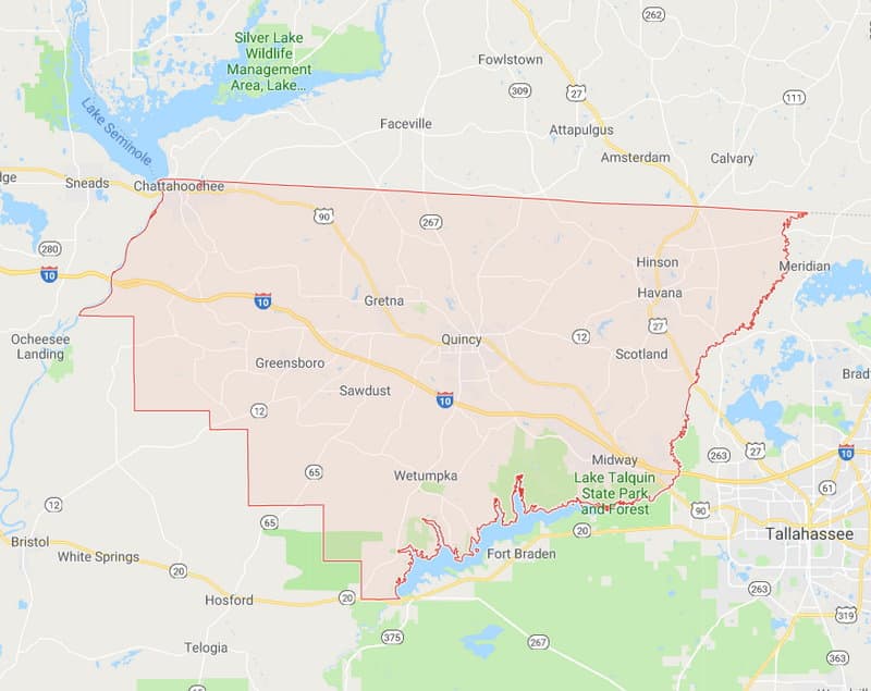 Gadsden
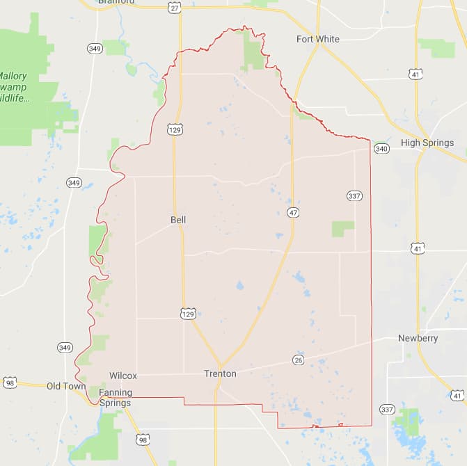 Gilchrist
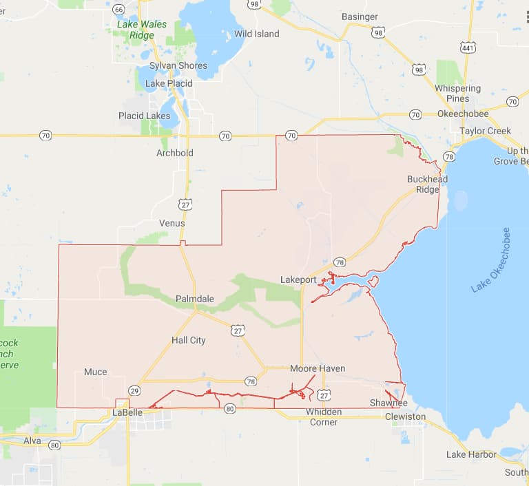 Glades
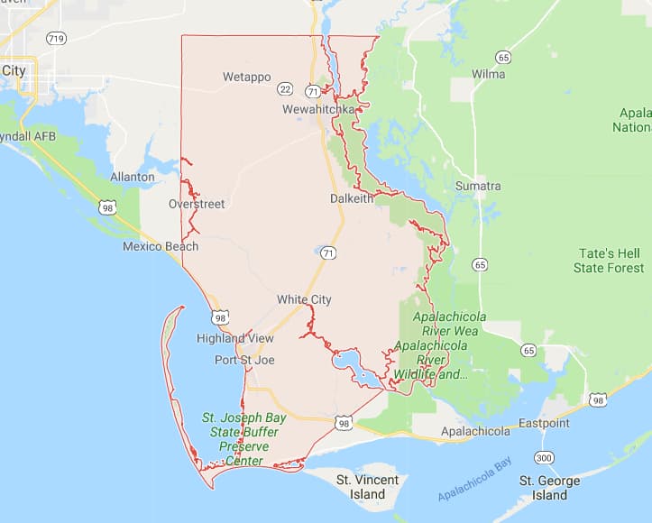 Gulf
Gulf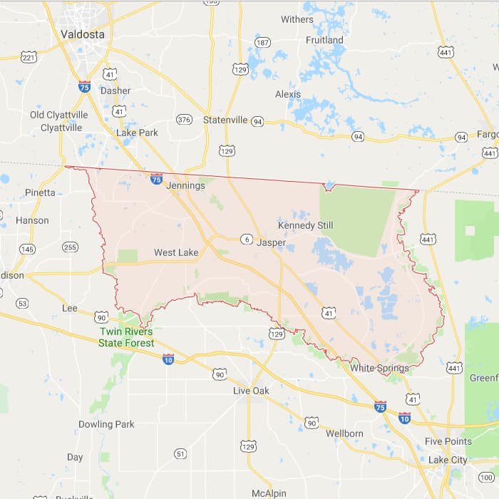 Hamilton
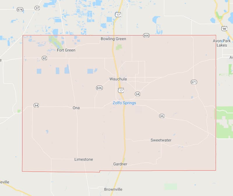 Hardee
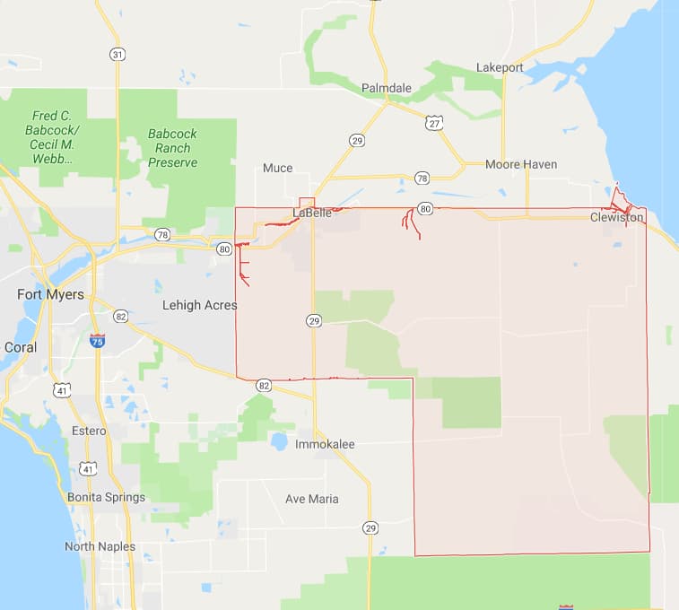 Hendry
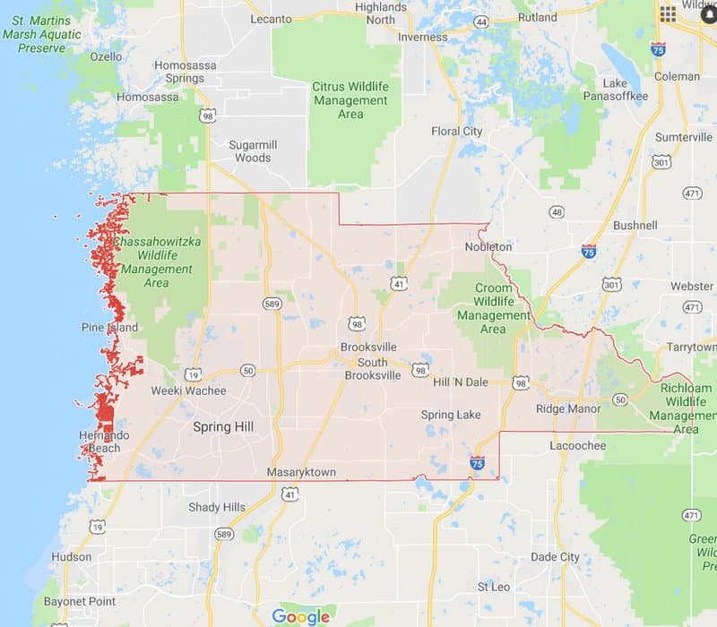 Hernando
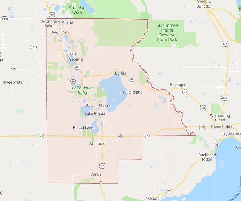 Highlands
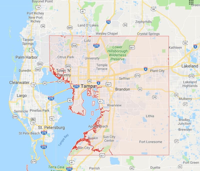 Hillsborough
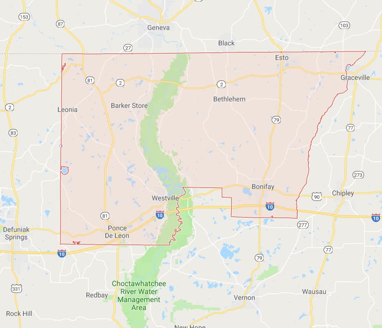 Holmes
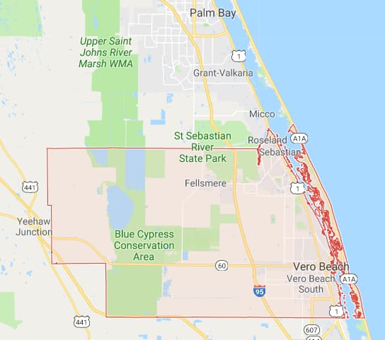 Indian River
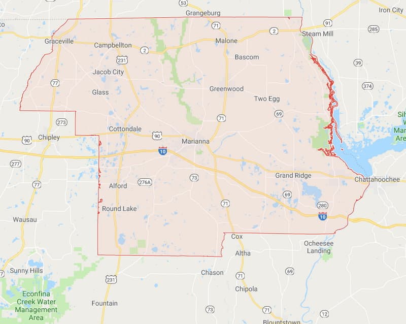 Jackson
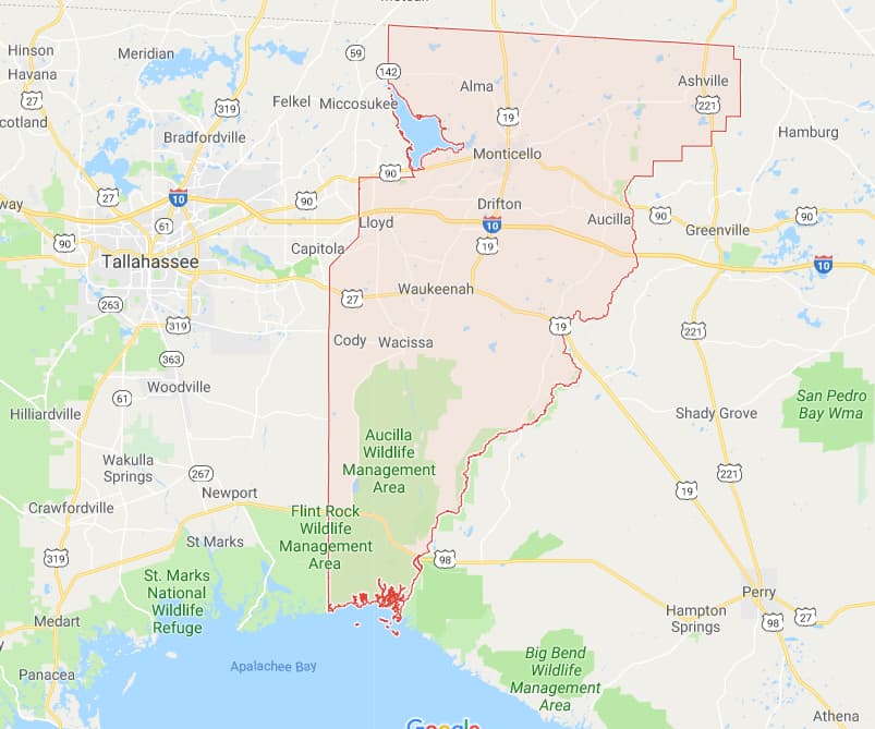 Jefferson
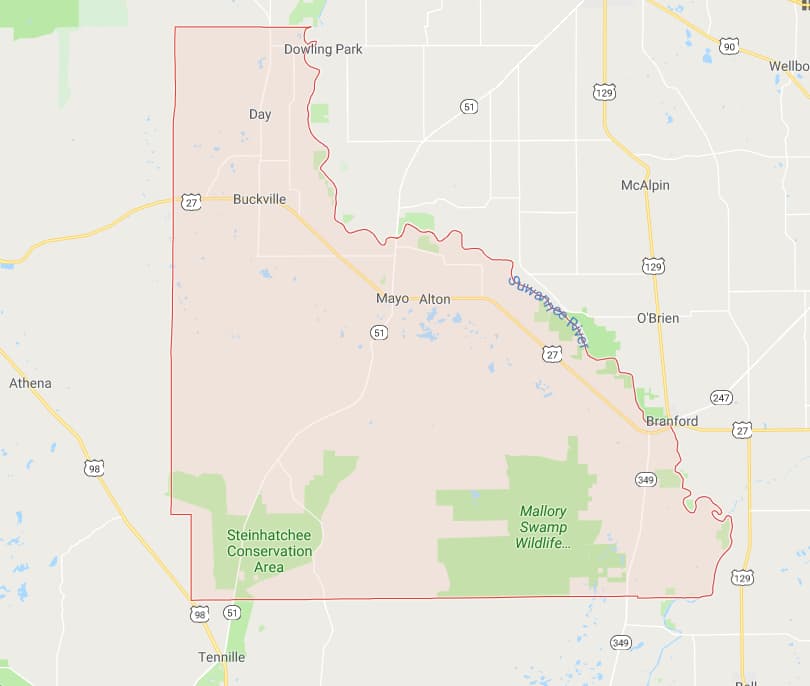 Lafayette
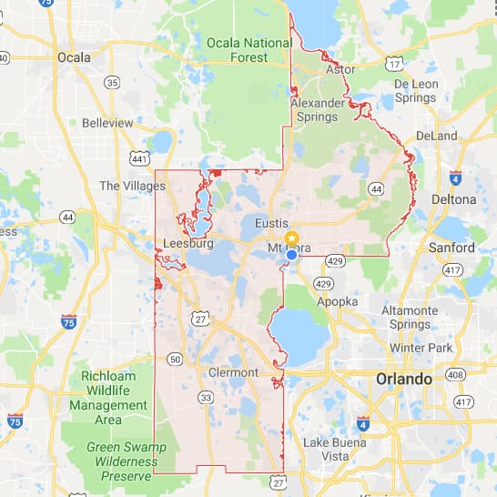 Lake
Lake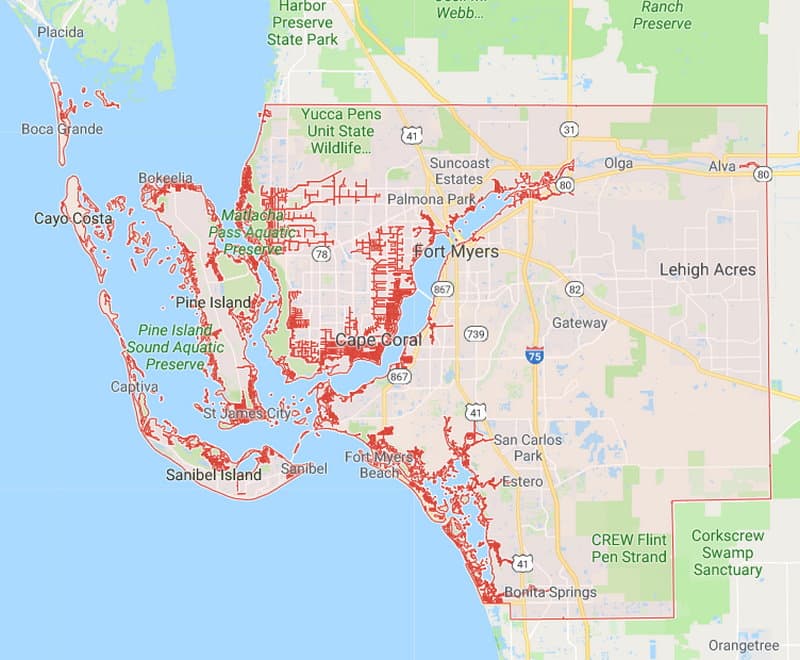 Lee
Lee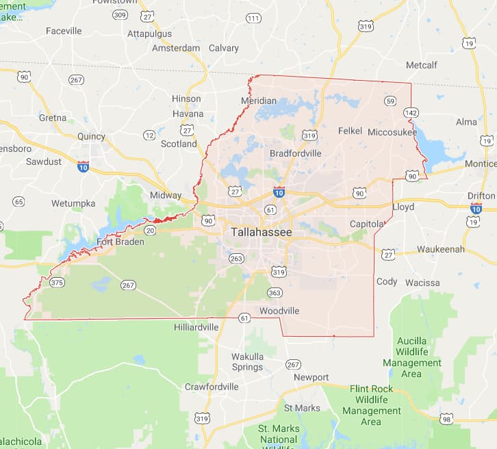 Leon
Leon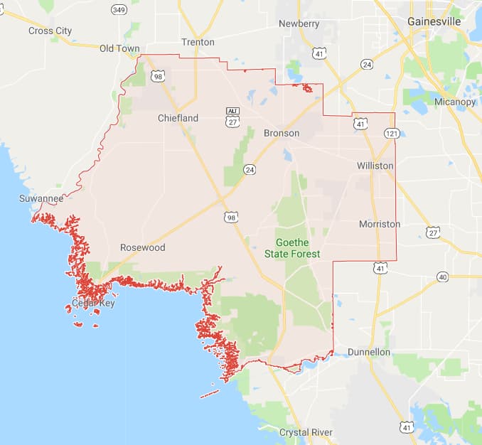 Levy
Levy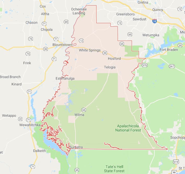 Liberty
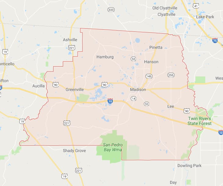 Madison
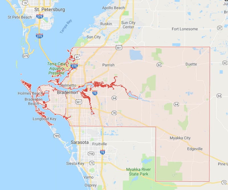 Manatee
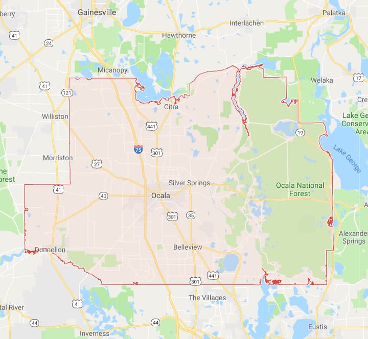 Marion
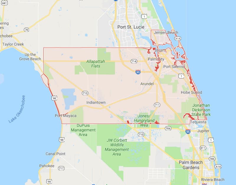 Martin
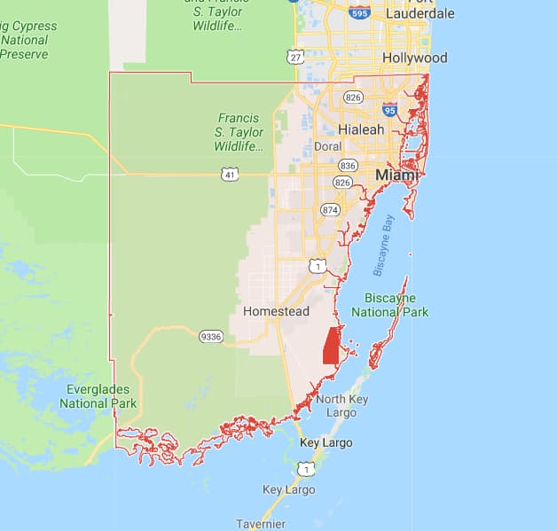 Miami-Dade
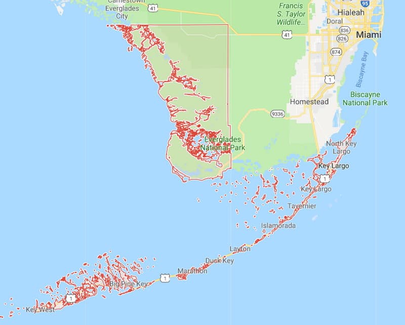 Monroe - West Keys
 Monroe - East Keys
 Monroe - Northwest on Mainland
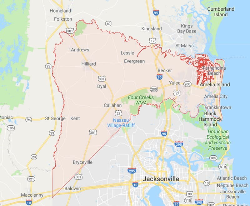 Nassau
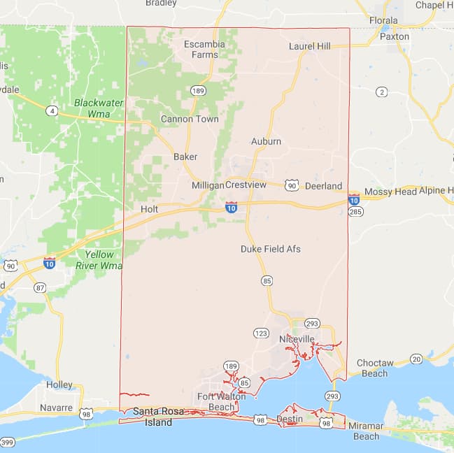 Okaloosa
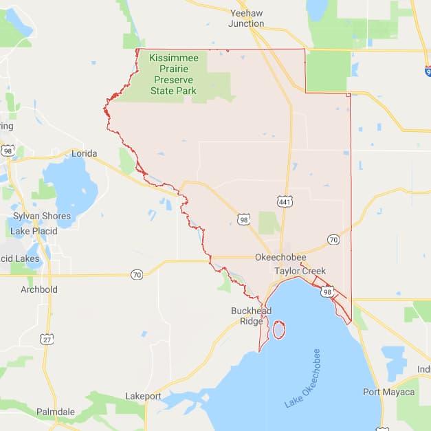 Okeechobee
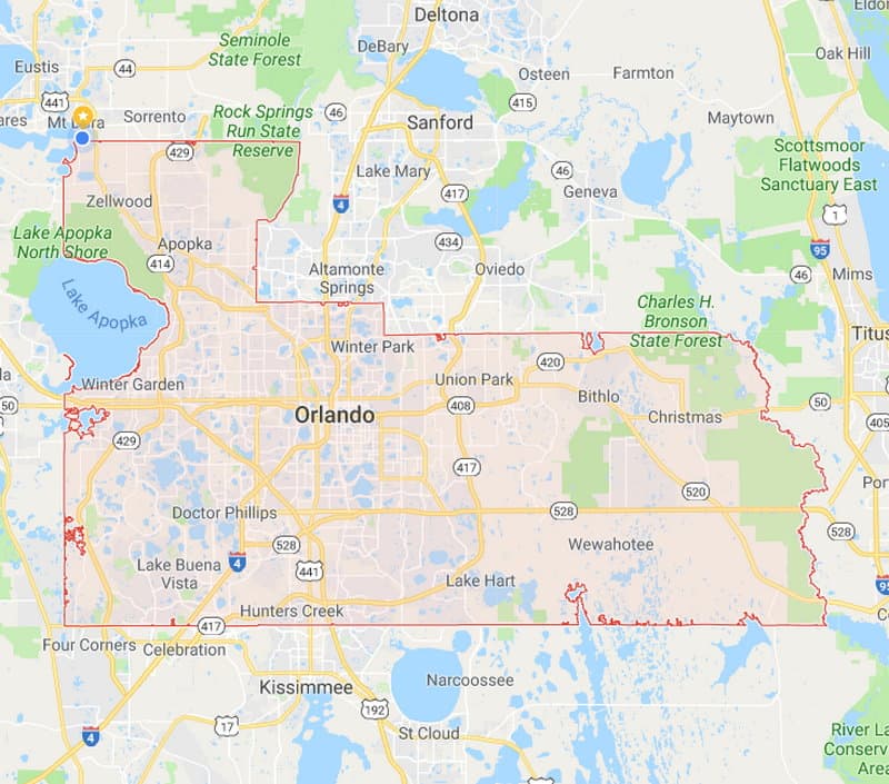 Orange
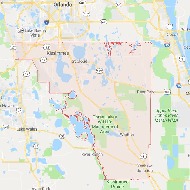 Osceola
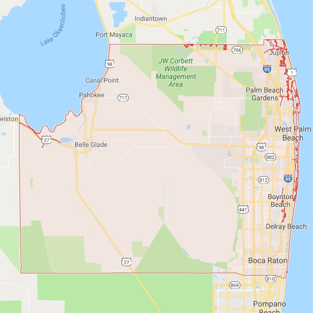 Palm Beach
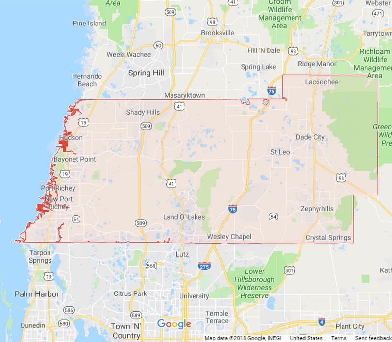 Pasco
Pasco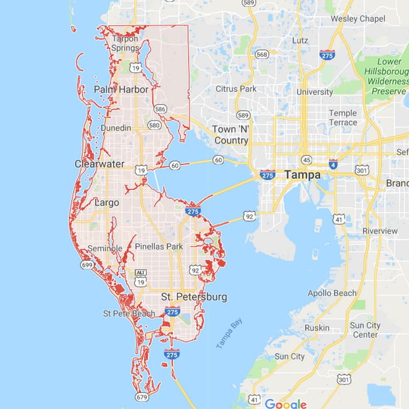 Pinellas
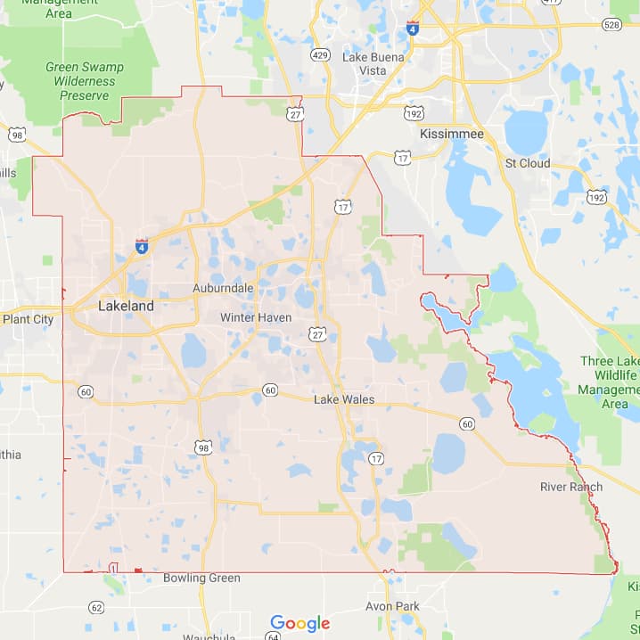 Polk
Polk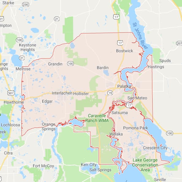 Putnam
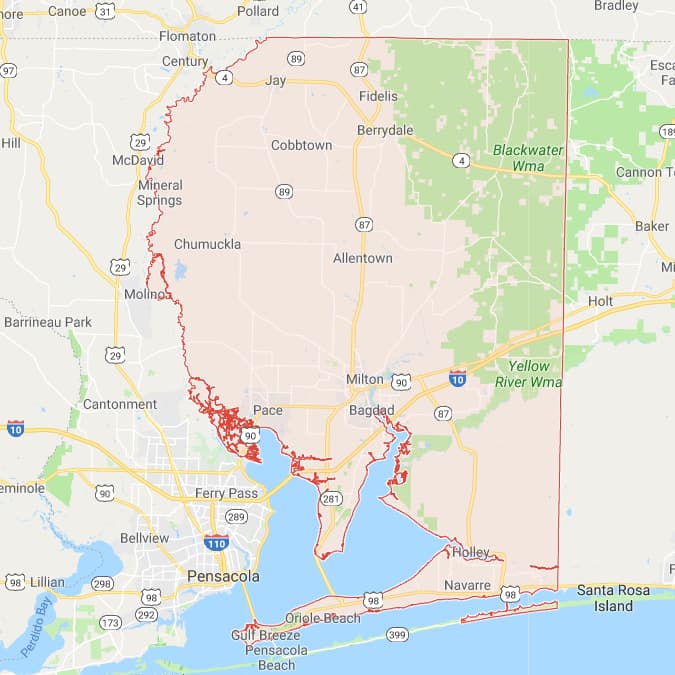 Santa Rosa
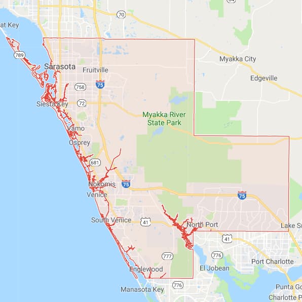 Sarasota
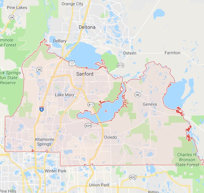 Seminole
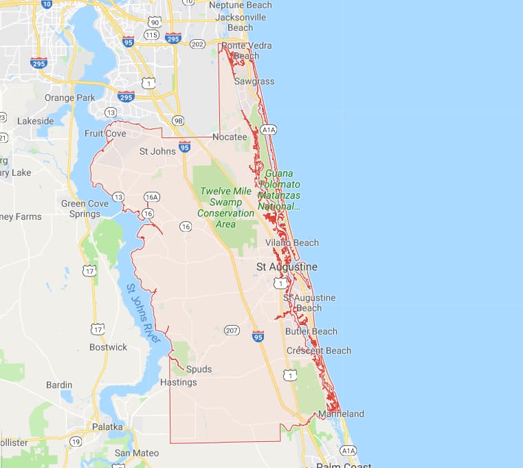 St Johns
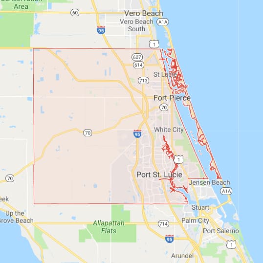 St Lucie
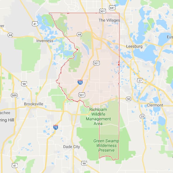 Sumter
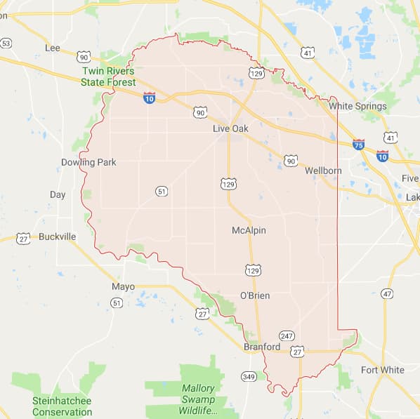 Suwannee
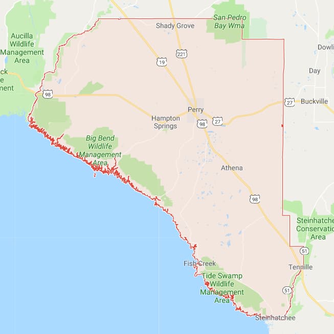 Taylor
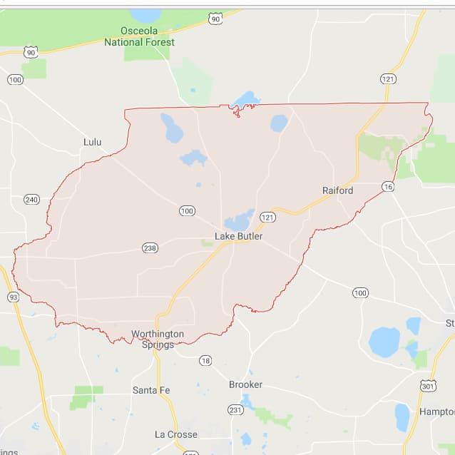 Union
Union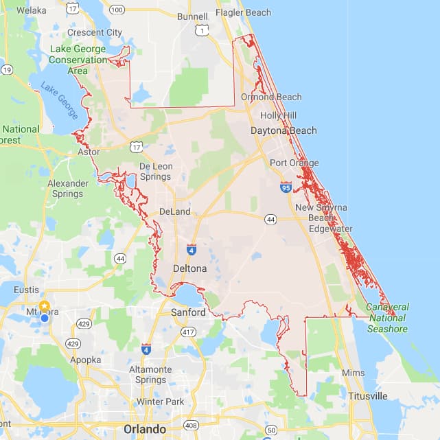 Volusia
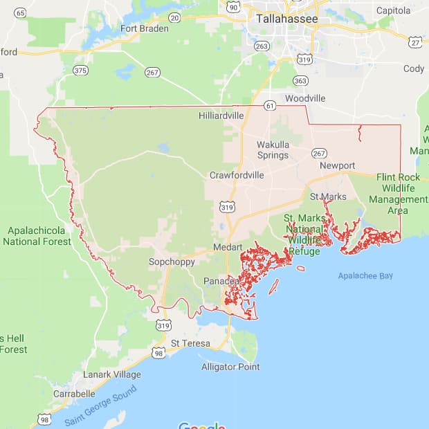 Wakulla
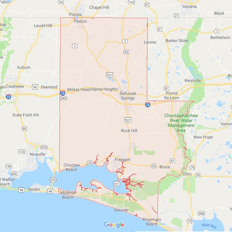 Walton
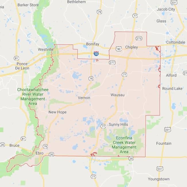 Washington
If you want to see a more highly detailed and zoomable interactive map of any of the 67 Florida counties, go to:
The Florida Department of Transportation database has the latest county maps available.
ALL 67 COUNTIES AND COUNTY SEATS
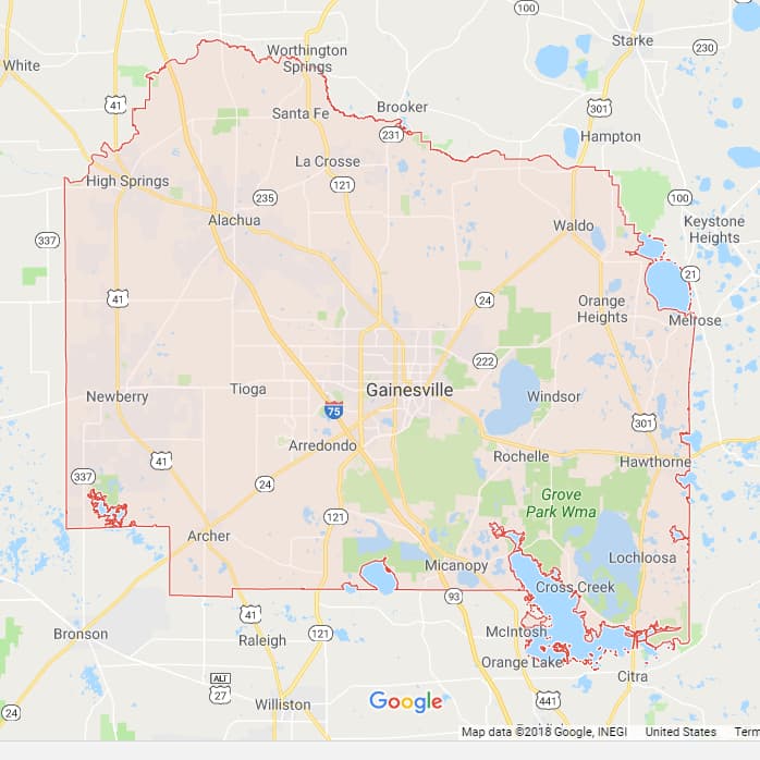
Alachua County - Gainesville
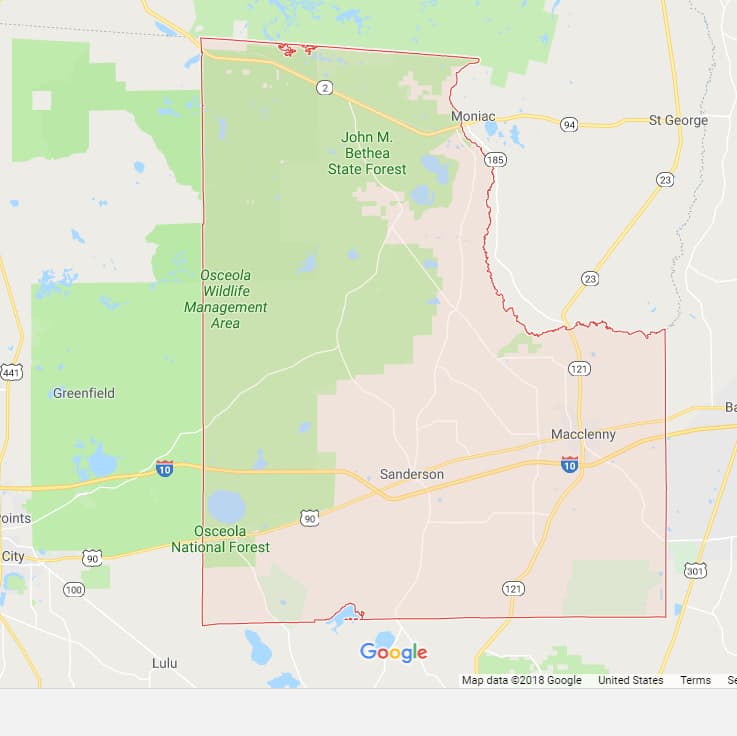
Baker County - Macclenny
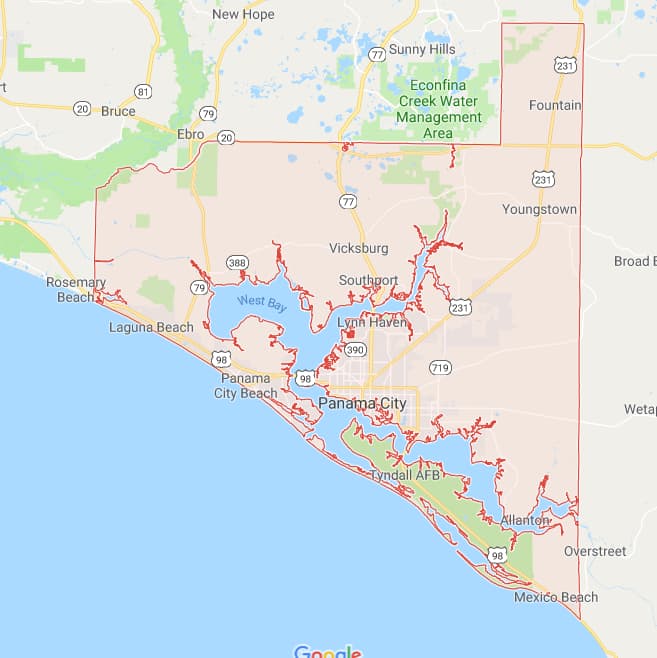
Bay County - Panama City
Bradford County - Starke
Brevard County - Titusville
Broward County - Fort Lauderdale
Calhoun County - Blountstown
Charlotte County - Punta Gorda
Citrus County - Inverness
Clay County - Green Cove Springs
Collier County - Naples
Columbia County - Lake City
De Soto County - Arcadia
Dixie County - Cross City
Duval County - Jacksonville
Escambia County - Pensacola
Flagler County - Bunnell
Franklin County - Apalachicola
Gadsden County - Quincy
Gilchrist County - Trenton
Glades County - Moore Haven
Gulf County - Port St. Joe
Hamilton County - Jasper
Hardee County - Wauchula
Hendry County - LaBelle
Hernando County - Brooksville
Highlands County - Sebring
Hillsborough County - Tampa
Holmes County - Bonifay
Indian River County - Vero Beach
Jackson County - Marianna
Jefferson County - Monticello
Lafayette County - Mayo
Lake County - Tavares
Lee County - Fort Myers
Leon County - Tallahassee
Levy County - Bronson
Liberty County - Bristol
Madison County - Madison
Manatee County - Bradenton
Marion County - Ocala
Martin County - Stuart
Miami-Dade County - Miami
Monroe County - Key West
Nassau County - Fernandina Beach
Okaloosa County - Crestview
Okeechobee County - Okeechobee
Orange County - Orlando
Osceola County - Kissimmee
Palm Beach County-West Palm Beach
Pasco County - Dade City
Pinellas County - Clearwater
Polk County - Bartow
Putnam County - Palatka
Santa Rosa County - Milton
Sarasota County - Sarasota
Seminole County - Sanford
St. Johns County - St. Augustine
St. Lucie County - Fort Pierce
Sumter County - Bushnell
Suwannee County - Live Oak
Taylor County - Perry
Union County - Lake Butler
Volusia County - DeLand
Wakulla County - Crawfordville
Walton County - DeFuniak Springs
Washington County - Chipley
County government websites are at the Florida Association of Counties.

Florida is the fastest-growing state in the United States and also the fastest-changing. If you see anything in this article that has changed or is in error, please let me know.
Thousands of Florida fans subscribe to our free daily Ezine, Florida Heritage Travel and we have 130,000 followers on Facebook.
By Mike Miller, Copyright 2009-2025
Florida-Back-Roads-Travel.com
Florida Back Roads Travel is not affiliated with or endorsed by Backroads, a California-based tour operator which arranges and conducts travel programs throughout the world.
